SDG 13 POWER SOLUTION
Let’s follow the journey of Giovanna and Arlen, Technovation alumnae who created an app around the problem of biodiversity and SDG 13.
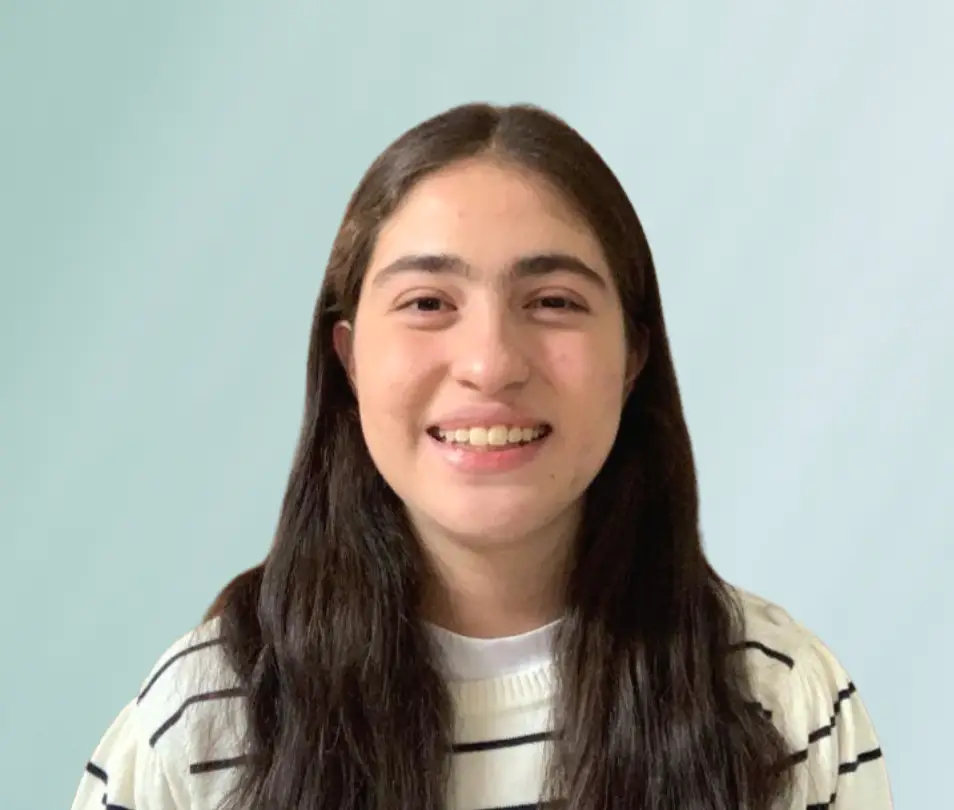
Hi, I am Giovanna Romero, from Mexico. I am a Mechatronics Engineering student and Technovation Alumna, member of the Latin America Regional Winning Team in the 2020 Technovation Girls season for the development of “Kap”, a venomous species mapping and recognition app that uses AI. I have participated in various contests and projects related to the use of technology with a focus on sustainability. I was part of the winning team of the first “Girls with Energy Hackathon” by Siemens Energy, and a finalist team member of the “Girls Save the World” award by HP in the first ever MIT Solv[ed] Youth Challenge for creating a climate academy for girls in my community.
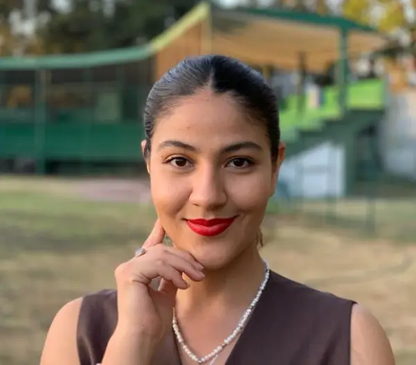
Hello, I am María Arlen Amezcua Ortiz from Guadalajara, Mexico, a Chemical Engineering student, activist and environmentalist. At the age of 12 I started in science and math competitions, obtaining national first places in chemistry for three consecutive years. In 2015 I participated for the first time in Technovation Challenge developing an app on environmental issues. By 2017 I won 1st place in a competition by CISCO, entitled “Girls Hackathon 2017”. From 2018 to date I develop and participate in activities and forums within CEAmbiental, which is an environmental organization in Guadalajara.
Click on the tabs below to learn about each part of the process Giovann and Arln used to create their app, called WE Heroes.
BRAINSTORMING ON BIODIVERTY
We were interested in climate change and biodiversity so brainstormed how they were linked.
For example:
- Climate change impacts the growth rate or behavior patterns of plants and animals
- Climate change can cause big changes in species populations
- more endangered, more invasive species
- Overexploitation through agriculture, cities, mining
- species loss and habitat degradation
- Environmental pollution and invasive species
- possible extinction of even more species

Endangered Species app, using IUCN Redlist API to deliver user-friendly information on endangered species, and how to take action to help them.
An app to help you find the endangered species in your area (IUCN redlist) and to crowdsource actions you can take to protect that species. Ideally the app would also track actions taken and incentivize them.

NatureSpots
- Diary about your nature sightings
- Map satellite view
- Animals, plants and fungi
- Map for habitats and species
- The information about each species is very technical
- Needs to include conservation actions

iNaturalist
- Take or import a photo and view the top 10 most visually similar species
- Create an account to share your observations and start a conversation about what you saw
- Every identification is connected to the tree of life, which means you can search for broad classifications like “Ferns” or “Fungi” as well as species-level identifications like “Humpback Whale” (and everything in between)
- Just for locating species
- Needs to improve the classification engine in the explore section
Click on each button to learn the pros and cons of each competitor.
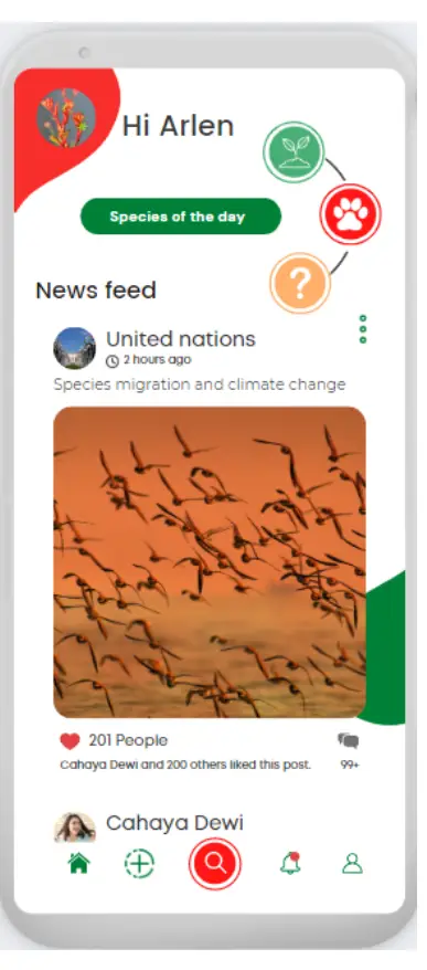
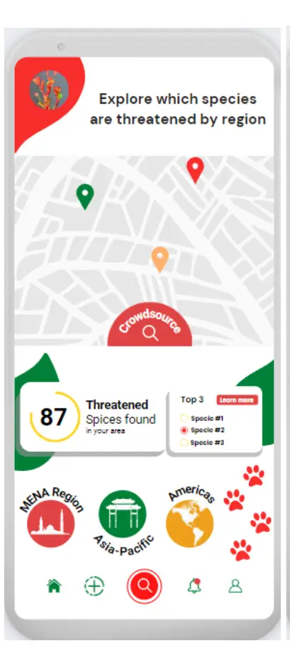

Listen to Arlen and Giovanna talk about different aspects of their project.
Click on each question to hear what they have to say.
How did you both collaborate, given you don't live near each other?
How did your original ideas for the app change over time?
What are your hopes for the impact your app might have towards climate action?
What are your future plans for the app? And how might you incorporate AI into the app?
 WE Heroes is now available on the Google Play Store. Click through the steps below to learn the steps to publish your app.
Listen to Arlen and Giovanna talk about the process of publishing to the Play Store.
Make sure that everything works as you expect to on the App Inventor emulator and on the Screen1, set the Version Code and Version Name, so you can build the Android Bundle. Use numbers starting with one, so you can keep track of the different versions, each time you update your app (these settings are at the bottom of the properties section when you select the Screen1).

Try your app on different devices to test either the design or the functioning.
Build a privacy policy for your app. There are already some generators such as Termly.
Build a quick website for your app. Builders such as Wix, Google Sites, Weebly or Caard may be helpful.
Design the promotional layout and screens (at least 4), download your 500×500 px logo.

In MIT App Inventor, download the aab – Android Bundle (with a different version code and name if you’re getting different tests – internal and open).
Upload all this documentation to the Google Play Console.
Arlen and Giovanna show you how to use APIs to display current external website data in your app.
Click the button to see their tutorial and other power solutions for climate issues.
WE Heroes Final Pitch
OTHER SOLUTIONS
Here are a few more solutions to spark ideas for you for SDG 13. Click each tab to see some possible features and what coding components you could use to build a similar app.
GREEN COMMUTER
Click on each image below to see a possible feature and how you might implement it.



TAKE ACTION APP
Click on each image below to see a possible feature and how you might implement it.




POLLUTION TRACKER APP
Click on each image below to see a possible feature and how you might implement it.


ALUMNAE ADVICE
Some final advice from Arlen and Giovanna on your Technovation project.

